WEATHERGRAM
YOTREPS
Compiled Sun 02 April 2017
Bob McDavitt's ideas for sailing around the South Pacific.
Disclaimer: Weather is a mix of pattern and chaos; these ideas are from the patterned world.
MARCH cyclones
Australian Region
4 depressions and 3 Cyclones in March, with DEBBIE reaching cat 4. DEBBIE has become ex-tropical and moved into the Tasman Sea but the rain it dumped inland is still making its way to the coast and places such as Rockhampton are expected to finally reach flood peak on next Wednesday night - with river levels maybe the highest in 63 years.
South Pacific Region Much quieter after a busy February with only 3 depressions in March.
The season so far is shown at en.wikipedia.org/wiki/2016%E2%80%9317_South_Pacific_cyclone_season
Looking at the winds at around 5000ft (the level of the low clouds) averaged over the last week
(at www.cpc.ncep.noaa.gov/products/precip/CWlink/MJO/pentad850winds_total.shtml)
we can see three interesting details.
1) the monsoonal westerly flow around Northern Australia, which was a factor in triggering DEBBIE
2) cyclonic winds around the Tasman Sea
3) Light variable winds along equator between 100W and Peru
If we look at the wind anomalies these features become more marked.
There is almost a reversal of flow in the trade winds between Galapagos and Peru - making it hard for those trying to venture west from Panama. If we look at the sea surface temperatures and currents in this region ...... this shows a weakened north-end to the Humboldt current and a 28 to 30C pool of warm water drifting to Columbia. This is the cause of the record land/bolder slide at Putumayo in SE Columbia with death toll of 254 so far (200 still missing). See tinyurl.com/kb8paod and this may well be the starting of a new El Nino event.
Comparing the averaged isobar maps between February and March at www.esrl.noaa.gov/psd/map/images/fnl/slp_30b.fnl.html shows the build-up of lower-than-normal isobars over eastern Australia and into the Tasman Sea.
During March the subtropical ridge in the South Pacific moved south and intensified as compared to its February position. If this continues then it will be difficult to find a good weather pattern for sailing from NZ to French Polynesia. The good news is that the average position of this feature usually goes starts to go northwards in April.
March rain (as seen at trmm.gsfc.nasa.gov/trmm_rain/Events/thirty_day.html) has been intense about equatorial South America, with other extreme spots marking the various tropical depressions (and DEBBIE). Two points to note: the Intertropical convergence zone across the Pacific remains much drier than normal. And the "mirror convergence zone" that occurs every year in early to mid-March along 5 to 10S between Tuvalu and Galapagos has been intense this year.
The tropics
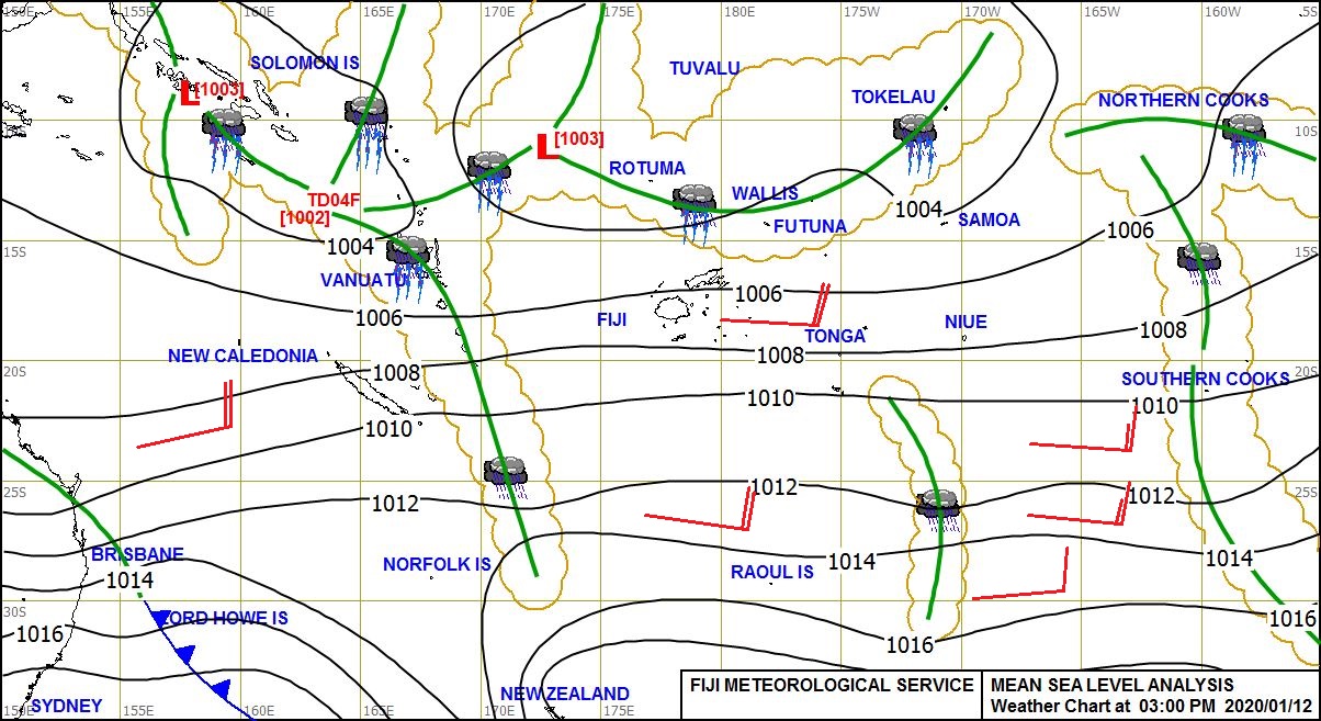
No cyclones around at this stage. However, there is a risk that the depression 93P/19F now northeast of Samoa may deepen into something more formidable as it travels across the Niue/Southern cooks on Sat/Su 8/9 April. The South Pacific cyclone season is NOT over yet.
For an isobar map see www.met.gov.fj/aifs_prods/0991.jpg and for a track map see www.tropicaltidbits.com/storminfo/93P_gefs_latest.png
Rain from last week, compared with previous week, from trmm.gsfc.nasa.gov/trmm_rain/Events/big_global_accumlation.gif , shows the track of the DEBBIE deluge.
The ITCZ is slowly returning to normal and the convergence zone between Tuvalu and Galapagos is still there, but now with gaps. Equatorial America remains wet, and India remains dry.
WEATHER ZONES
SPCZ=South Pacific Convergence zone.
SPCZ is strengthening this week and already has TD19F near Samoa which is expected to drift slowly south. Other tropical depressions may form in Coral Sea and to south of French Polynesia. Not a good time to go sailing.
Subtropical ridge (STR)
HIGH to east of the South Island is expected to travel slowly east along 40S on Mon /Tuesday. The High that is tonight over Tasmania should trigger a high east of Southland on Monday that should travel NE to 40S 160W by Thursday, and another High in the west Tasman Sea waiting its tur then travelling onto South Island/ central NZ on Friday/Sat.
Tasman Sea/ NZ troughs.
The clouds and low pressure feature left over for DEBBIE are scheduled to cross mainly central NZ on late Monday to Thursday (mainly on Wednesday) with strong wind s and heavy rain. May as well wait if planning to sail away.
Mexico to Marquesas:
The next Tehuantepec NE blast of wind near 95W is expected around 7 to 9 April, then a stronger period from 14 to 16 April.
There seem to be good northerly winds for departure anytime this week.
As for waypoints: Looks to be a good idea to go WSW at first to find a good sailing breeze to aim to encounter the ITCZ near 10N to 5N at 130W. Light winds south of 5N, the trade winds are weaker than normal. Anticipate an extra convergence zone near 2 to 4S on the way to Marquesas.
Panama to Galapagos
Light winds around Panama, often southerly, but there may be a period of 8 -10 knot northerly winds from 7 to 11 April. Light southerly to SW winds from 5N to Galapagos. Main convection is likely between 6N and 4N. May be a good tail current from 3N to Galapagos.
Galapagos to Marquesas
There is now a river of east going current between 2 and 6S west of Galapagos, so need to go as far as 12 to 14S to avoid that... and that's where the winds for sailing are located. Maybe go to waypoints 10S 110W then 13S 125W then direct. The deviation so far to south also avoids the extra convergence zone and its squalls. The pattern is changing and may well be different in a week or so, so get updates.
>>>>>>>>>>>>>>>>>>>>>>>>>>>>>>>>>>>>>>>>>>>>>>>>>>>>>>>>
See my website www.metbob.com for more information
Feedback to bob@metbob.com or txt 6427 7762212
Weathergram text only (and translator) is at weathergram.blogspot.co.nz.
Weathergram with graphics is at metbob.wordpress.com,
Click FOLLOW at bottom right to subscribe.
To unsubscribe send a reply email saying LEAVE.
>>>>>>>>>>>>>>>>>>>>>>>>>>>>>>>>>>>>>>>>>>>>>>>>>>
Followers
Translator
Bob McDavitt's ideas for sailing weather around the South pacific
02 April 2017
Subscribe to:
Post Comments (Atom)
No comments:
Post a Comment